|
| Mountains on the south side of Kearsage Lakes. |
Section G & H
Horseshoe Meadows to Kearsage Pass (Onion Valley) – Nobo
Trip Topo Map (10 Mb pdf)
Miles: 43 PCT miles + Mt. Whitney & back + Trail Pass + Onion Valley = 70
Hiking with: Bill
Lodging: Best Western Crestview, CA – This hotel is was 90 minutes away from Lone Pine where we got our permit. convenient to the end of section D and the first half of section E and I got a killer deal.
Shuttle: We used
High Sierra Shuttle which worked out OK (see Description below for details).
Dining: We stopped at my favorite
Crazy Coyote Taco Stand in Cabazon, CA on the way.
Start: Horseshoe Meadows, Trail Pass. Trail Pass trail is a short hike (1.7 miles) with a moderate up to join the PCT. At the trail junction there is a sign with a very faint PCT logo. This wasn't the most efficient way to get to Whitney as Trail Pass goes SW and to the PCT and the loops to the east where as Cottonwood Lakes trail from Horseshoe Meadows heads straight north to join the PCT. However, I was thinking of an efficient on/off the PCT as I would be coming back this way in the future. Another factor was the availability of permits. Most trails heading in to the Sierras have a limited number of permits issued each day -- Cottonwood Lakes was sold out and Trail Pass doesn't have a quota.
End: We exited the PCT at Kearsage Pass to Onion Valley. On the map this looked like a great out & it was. The down side was the 7.5 miles to Onion Valley but the scenery was worth it.
People along the trail: From Trail Pass to Chicken Spring Lake where the Cottonwood Lakes trail joins the PCT we saw almost no one. From Chicken Spring Lake north to Whitney we saw 10+ hikers. From Whitney north we were on the John Muir Super Highway and saw people at least every hour. Even though you see a lot of other hikers you still know your in the wilderness and its sort of nice to see other hikers.
Day 1 Description: We stopped by the Inyo National Forest Permit office in Lone Pine where they had a drawing to get served. We got our permit for Trail Pass with a 'visit' to Mt. Whitney and drove up to Horseshoe Meadows to start our hike. The trail ran along soft ridges and after about 12 miles we set up camp. We ate dinner along the trail and then hiked another mile to a campsite so cooking odor wouldn't attract bears. We set up camp and put our bear canisters 200 yards from our campsite just like we were told to. Later on we realized other campers were eating next to their tents and placing the bear canisters about 20 feet from their tents....a practice we easily/lazily adapted to.
 |
| A view of the Sierra from the Lone Pine NFS office. |
 |
| Bill at the Lone Pine NFS permit office. |
 |
| Me at the Trail Pass & PCT junction. |
 |
| A view west in Sequoia Ntl Park. |
 |
| Bill along the PCT. |
 |
| Chicken Spring Lake -- our first water!!! |
 |
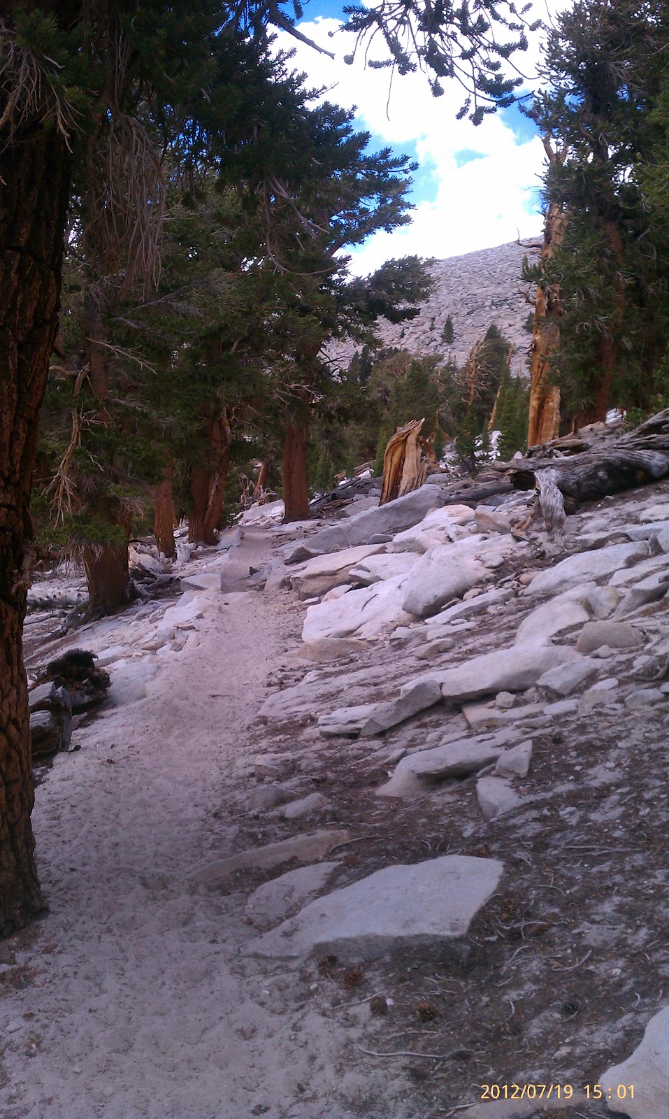
| The Trail...very sandy. |
 |
| The meadow we camped above. |
 |
| One of the few PCT signs we saw over the 6 days. |
 |
| Sign. |
Day 2 Description: We got up early and continued hiking north towards Mt. Whitney. We were carrying a lot of water as there was about an 8 mile dry stretch of trail. Our packs were heavy so we came up with a plan to store one of our two bear canisters with all the "heavy food" in a bear box at the Whitney turnoff so we didn't have to lug the extra weight around. This worked really well. We hiked to Guitar Lake at the base of Mount Whitney so we would get a quick start the next day.
 |
| Moss on Rocks. |
 |
| The trail going down to Crabtree Meadows...very steep. |
 |
| Crabtree Meadows. |
 |
| A bear box. |
 |
| Timberline Lake just before Guitar Lake at the base of Mt. Whitney. |
Day 3 Description: We left our tent set up with our gear inside while we hiked up Mt. Whitney. Our backpacks just had water bottles so they were very light. We left camp about 6:30 and reached the summit about 9. The trail has a lot of switch backs up to a saddle where the trails from the front and back (the one we took) meet. At this point everyone drops their packs along side the trail and hikes the last 2 miles and 1,000 vertical feet to the top. I was told of the mass of hikers doing Whitney every day but I didn't think it was that bad -- I'm willing to share. We came back down, took down our tent, hiked onto the Whitney Ranger Station, and then camped.
 |
| Guitar Lake early in the morning as we started to ascend Mt. Whitney. |
 |
| Other "Peakers" and the hut on top of Mt. Whitney. |
 |
| The hiking duo at the summit. |
 |
| Summit Monument. |
 |
| A view down the east side of Mt. Whitney. |
 |
| The very rare blue sky pilot flower that only grows above 12,000' |
 |
| Bill pointing out Mt. Whitney. |
 |
| The packs dropped at the trail junction. |
 |
| Relaxing / reading at Crabtree Meadows camp. |
 |
| The best feature of the campsite -- an outhouse -- or maybe just an out. |
 |
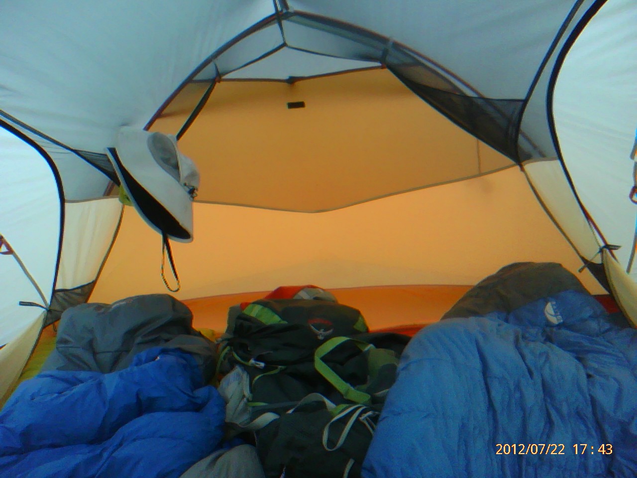
| Gear. |
Day 4 Description: We rose early and wanted to hike to the base of Forester Pass. It was a nice morning but we got some light rain after lunch. We were about a mile from the Pass where there were no trees when it started raining harder then came the lightning strike...we estimate it hit about 1 mile away. We shortly passed some hikers coming from the lighting strike area...they were shaken as they were about 1/4 mile away from it. We huddled up next to some rocks for some cover for a while. Then we continued on until we could see a wall of rain coming our way. We found a flat area that was dry and next to some rocks which may give us some shelter and quickly set up our tent. Then it started raining hard.... & then the hail came. It must of hailed/rained for 2 hours. It eventually stopped and we got out, filtered water and ate dinner.
 |
| The storm is moving in. Forester Pass is the notch on the left side. |
 |
| The storm it coming!!! |
 |
| Bill was a little spooked after a lightning hit within a mile of us. |
 |
| Hail!!! |
 |
| We placed our hiking poles in some near by rocks to act as lightning rods -- right. |
 |
| The stream where we camped. |
 |
| The tent. |
 |
| The vestibule. |
 |
| The trail. |
Day 5 Description: Bill woke up in the middle of the night and said he looked out the tent and saw a clear sky filled with stars. It didn't last long as we woke up at 5 am to cloud cover -- it almost seemed like fog. We quickly ate breakfast, packed up and hit the trail as we were anxious to get over Forester Pass. Forester Pass was a very impress section of trail as it is cut into the side of an absolutely vertical cliff. We ascended in fog but as soon as we reached the pass the other side was clear -- although you could see the clouds from the other side of the ridge starting to blow over. The view down into Kearsarge Valley is pretty impressive and even better when you start hiking through it. We continued on through Kearsarge Valley and out the north end and exited on the trail to Bullfrog Lake. It started raining pretty hard again and we took cover a couple of times but continued onto Kearsarge Lakes. Mountains just rose out of the lake -- very impressive. We decided we could get to Onion Valley by 9 am so via my SPOT Connect I texted my wife and told her to contact High Sierra Shuttle to pick us up at 9 am rather than noon so we could start home earlier. We had a great camp site overlooking the lake -- what a way to spend your last night!!!
 |
| Day 5 -- an early start to get over Forester Pass -- the highest point of the PCT!!! |
 |
| Me at the lake at the base of Forester Pass. |
 |
| Bill & I at Forester Pass. World peace tour. |
 |
| The clouds hoovering over the Kearsarge Mountains. |
 |
| The clouds blowing into Kearsarge Valley from the Whitney area. |
 |
| Glacial!!! How cool. |
 |
| Kearsarge Valley. |
 |
| Kearsarge Valley. |
 |
| A small creek flowing through Kearsarge Valley. |
 |
| The main river/waterfall in Kearsarge Valley. |
 |
| Stream crossing. |
 |
| Add caption |
 |
| The trail going up to Kearsarge Pass -- a lot of ferns. |
 |
| Bill at Kearsarge Lake. |
 |
| Me at Kearsarge Lake. |
 |
| Victory at Kearsarge Lake. |
 |
| Kearsarge Lake. |
 |
| Kearsarge Lake.
|
 |
| Kearsarge Lake.
|
 |
| Kearsarge Lake.
|
 |
| Kearsarge Lake.
|
 |
| Campsite at
Kearsarge Lake. |
 |
| Campsite at
Kearsarge Lake. |
 |
| Campsite at Kearsarge Lake. |
 |
| Equipment we carried but never used. |
Day 6 Description: We packed up early and quickly hit the trail. We spotted a deer on the trail as we rounded a switchback. It was a very scenic trail passing 3 more lakes and following a mountain stream. We got to the parking lot at 8:30 am and called High Sierra Shuttle and they said our shuttle just started up towards Onion Valley and we should see them in 20 minutes. An hour later and no sign of the shuttle we called and discovered they went to pick us up at Horseshoe Meadows where we started!!! They said they would come and get us but it would be a 1-1/2 hours. We decided to hitch hike and quickly got a ride from someone leaving the trail head parking lot who was hiking Mt. Whitney the next day. They gave us a ride all the way to Lone Pine (they were going there anyway) where we arranged via cell phone to meet our shuttle, changed cars and got delivered to our car at horseshoe meadows. Yahoo!!!! We then stopped back at the Best Western in Crestview, CA and showered and then we cruised back to Phoenix.
 |
| We start day 6 as the sun rises. |
 |
| Kearsarge Pass. |
 |
| As we came around a switchback we bravely confronted a deer. |
 |
| Whaaa!!!! Last Day. |
 |
| Farewell John Muir Wilderness. |
 |
| Onion Valley Trailhead -- exit point. |
 |
| Our shadows on rocks about 100 yards away. |
 |
Onion Valley Parking Lot -- Where is our shuttle!!!!
Perhaps well just hitch hike. |