Saturday, August 20, 2011

Mile 255 to 268

Sunrise about mile 267.
.Section C
Baldwin Lake to Deer Spring Camp
Miles: 13
Hiking with: Gary

Lodging:  Best Western in Big Bear, CA.  This is the only “chain” hotel in Big Bear and besides I manage some Best Westerns so I get a discount – so I’m staying here.  Prices are high in Big Bear – you may find a better deal elsewhere but the Best Western was quaint with great beds, cable tv, internet & a great breakfast (not so with a cabin or home rental)! 

Car Rental:  Enterprise Car Rental Big Bear, CA  It was nice to rent close to the trailhead but at a cost.  They didn’t open until 8 am and were closed on Saturday and Sunday.  So I got it Friday morning and returned it Saturday afternoon in their lot and got charged for Sunday… I’m ok with that.  It was a Nissan compact that cost me $40/day and went incredibly fast on the dirt roads and I only scraped the bottom once (the beauties of a rental).

Dining:  – Across the street and up a little bit from Maggio’s Pizza (my first choice) is “Get the Burger” which is a popular local Burger Joint, better than fast food, clean, but pricey for a Burger – I’d go there again.

Start:  From Hwy 18 on the north side of Lake Baldwin (frequently a dry lake) we turned north towards the city dump on Holcomb Valley Road, a well groomed dirt road toward the City dump.  About ½ mile up you’ll see a small sign for the PCT and the trail on both sides of the road.  We parked on the side of the road. 

End:  Off of Hwy 38 we took Forest Road 2N01 to the east.  There are very few roads off of Hwy 38 – especially on the east side and the terrain drops off quickly.  About 0.5 mile down the dirt road is a dry creek, park in the small parking area to the left (3 cars), and the PCT crosses the road at mile 255 about 0.5 miles before the PCT comes to deer springs and a trail camp.

Permit Required:  You need an adventure pass to park anywhere in the southern California National Forests which is $5/day or $30/year (I never used one south of I-10 and never had a problem but I’d just by 2 annual passes and be done with it).  We got our pass at the Big Bear Walgreen’s and at the B&B where we stayed another time or you can get one online – which may be easier.

 People along the trail:  We saw no other hikers.

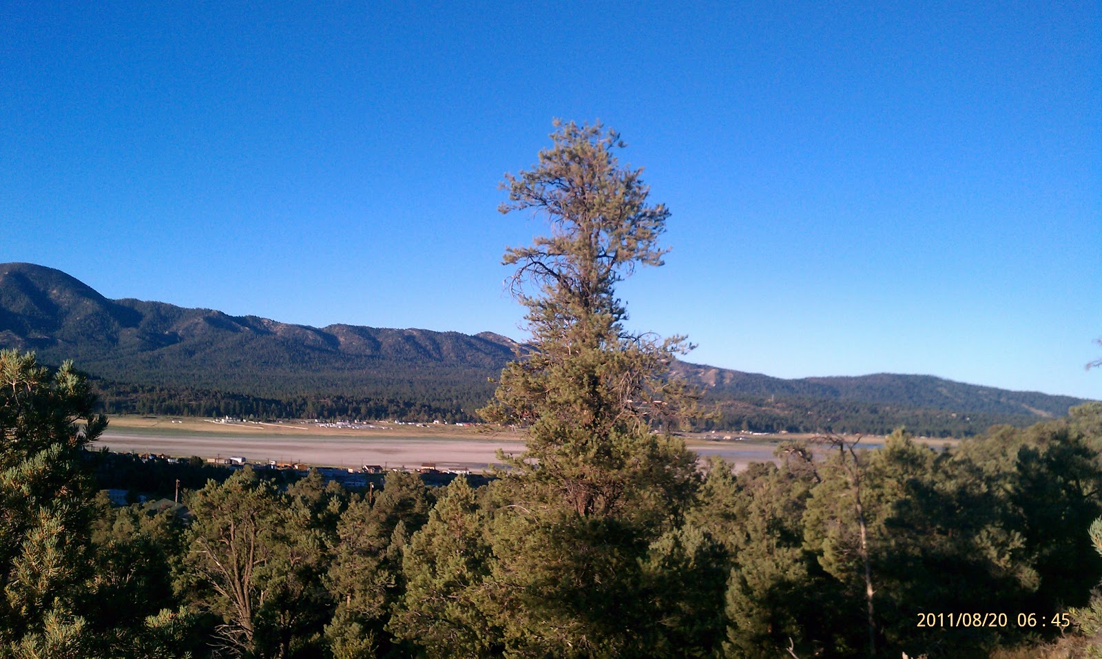
Description:  We started this hike in the dark but within 10 minutes the sky was blue and the sun just creaking up over the horizon.  This is the best time to hike with great lighting for photographs.  I always say that miles before 10am are zero miles – by 10 am you still feel fresh even though you’ve done 10 miles.  If you started at 10 am and hiked 10 miles by 3 pm you’d be tired.  It’s something about the cool air & low angle of the sun that makes the miles easier.  The first part is a great stretch of trail is on the edge of the mountains with little tree cover and great views to the Mohave Desert below.  Soon the trail curves into the mountainous terrain and follows a pretty little canyon with a small stream up to Deer Spring Camp and then to the car.  We were done by noon, drove back to get the other car, dropped it off at Enterprise Car in Big Bear, ate at Get The Burger, and cruised back to Phoenix taking Hwy 18 down the north side of Big Bear (if you’re heading to Phoenix this is a great alternate drive back rather than I-10 again).
The rare Joshua Tree -- unusual to see one at 6,500'.

I couldn't figure this sign out --
are we supposed to step on vegetation?

A little trail magic lefy by the Big Bear Hiker's Hostel
where the trail crosses Hwy 18.

A little disposal service provided by a the Big Bear Hiker Hostel.

A view SW at Baldwin Lake (dry) and Big Bear City.

Friday, August 19, 2011

Mile 240.5 to 255

At the day's trailhead.
.Section C
Heart Bar Ranch to Deer Spring Camp - Nobo
Miles: 14.5
Hiking with: Gary

Lodging:  Best Western in Big Bear, CA.  This is the only “chain” hotel in Big Bear and besides I manage some Best Westerns so I get a discount – so I’m staying here.  Prices are high in Big Bear – you may find a better deal elsewhere but the Best Western was quaint with great beds, cable tv, internet & a great breakfast (not so with a cabin or home rental)! 

Car Rental:  Enterprise Car Rental Big Bear, CA  It was nice to rent close to the trailhead but at a cost.  They didn’t open until 8 am and were closed on Saturday and Sunday.  So I got it Friday morning and returned it Saturday afternoon in their lot and got charged for Sunday… I’m ok with that.  It was a Nissan compact that cost me $40/day and went incredibly fast on the dirt roads and I only scraped the bottom once (the beauties of a rental).

Dining:  Maggio’s Pizza  Big Bear, CA – My theory is forget the fancy restaurants go where the locals go.  At the hotel the exec told me to go to the Peppermill which is the nicest place in town.  When I asked the front desk clerk who looked like a college student where he goes to eat he said Maggio’s – Bingo!!!  This is great Italian food at a great price.  I’ve eaten here 4 times and never been disappointed.  I had spaghetti, Calzone, Pizza, salad – it’s all great.  It’s always been full but we’ve never waited more than 10 minutes.

I’ve also eaten at “Get the Burger” in Big Bear which is a popular local Burger Joint, better than fast food, but pricey for a Burger – I’d go there again.


Start:  From Big Bear we took Hwy 38 south to Heart Bar State Park.  We turned south off the road and at the “Y” we took a right and drove for about 30 minutes.  We passed some parked cars at a trailhead about 2/3rds of the way up.  There was a PCT sign and a wide bend where the PCT crossed the road.  We parked on the edge of the road.  We probably should have parked another 0.5 miles up the road at mile 240 where there is a camping area and lots of parking. 

End:  Off of Hwy 38 we took Forest Road 2N01 to the east.  There are very few roads off of Hwy 38 – especially on the east side and the terrain drops off quickly.  About 0.5 mile down the dirt road is a dry creek, park in the small parking area to the left (3 cars), and the PCT crosses the road at mile 255 about 0.5 miles before the PCT comes to deer springs and a trail camp.

Permit Required: You need an adventure pass to park anywhere in the southern California National Forests which is $5/day or $30/year (I never used one south of I-10 and never had a problem but I’d just by 2 annual passes and be done with it). We got our pass at the Big Bear Walgreen’s and at the B&B where we stayed another time or you can get one online – which may be easier.


People along the trail:  We crossed paths with a couple who was section hiking.  They had driven up Coon Creek Road to the PCT about mile 246.5.  It was probably a better road than we took but it would have made our hike too short.

 Description:  We left Thursday after work and arrived at Big Bear late at night.  We got up and ate breakfast at the hotel and arrived at Enterprise Car Rental when they opened by 8 am (see notes above).  It took about an hour to get to the trailhead and we’re quickly on the trail.  The trail stays in the pines the whole way but true to the dry mountain west it got warm when you were in the sun.  There were some great views into the desert from Coon Creek Jumpoff at mile 246.5 – Jumpoff is very descriptive.  Next we crossed a dirt road and saw the “AnimalCages” as listed on Halfmile’s maps and the USGS Topo maps.  The PCT comes within 50 yards of the cages.  I could see 4 bears in cages – one gave a good growl that echoed in the forest and would have had me running if I didn’t see the cages.  These animals are used in photoshoots and movies.  At mile 252 there is a dirt road that leads out to Hwy 38, about 50 yards away.  Here there is a Water Cache and a card for a hiker’s hostel and shuttle to Big Bear.  Soon we came to our car, drove back to pick up the rental car from our trailhead, returned and dropped off the rental car on Forest Road 2N01 where we finished our hike that day.  We returned to the hotel, showered and had a great dinner at Maggio’s. 
PCT

"Animal Cages" The fuzzy brown thing in the center is a bear.

Looking south at San Gorgonio Mountain.

Nice wildflowers to add color.