 |
Some of the "Mormon Rocks" along the hike.
The Mormons settled San Bernardino and this area --
hence the name. |
Section D
I-15 to Swarthout Canyon Road – Sobo
Miles: 5
Hiking with: Chris, Gary B & Rob
Lodging: Holiday Inn Express, Hesperia, CA - There are a lot of hotels in Hesperia. There are a lot of hotels in the area and at the next intersection to the north & a lot of restaurants. I booked through
www.hotwire.com and paid about $80.
Shuttle: I bought a Dual Sport Bike (Kawasaki 250) on the back of Gary's new Ford F-150 King Cab pick up truck....sweet.
Dining: On the way back to Phoenix we stopped at
Crazy Coyote Tacos a taco stand off of I-10 (don't mind some of the mediocre comments left on Yelp -- these are great Tacos). I had the Giant Taco -- Excellent!!! This was featured on the Travel Channel by Anthony Bourdain. Excellent food!!! It is on the west side of the Cabazon Outlet Shops on the frontage road -- you can't miss it!!!
Start: We took Lone Pine Canyon Road off of Hwy 136 just west of I-15. Just after the big right hand bend in Lone Pine Canyon Road turn left onto Swarthout Canyon Road (a flat well maintained dirt road).
End: I-15 just south of the McDonald's.
People along the trail: We saw no one on the trail.
Description: We dropped off my motor bike at the end of the road just south of the I-15 McDonald's at Cajon Pass. I chained it to the telephone pole. We then drove about 20 minutes to the trail head at Swarthout Canyon Road. There was no parking at the PCT crossing but there are several spots to pull of the side of the road within 200 yards.
OK -- I thought this would be an ordinary hike simply going around a small mountain and then going through the Mohave River bed next to I-15 and then going under I-15 to the end. Was I ever wrong!!! This was a fantastic 5 miles!!! The first mile you hike along some mountains and then wow!!! First you start hiking along the ridge of very steep cliffs (Gary is afraid of heights -- oops), then you hike along some boulders, then you drop down into a pretty desert patch with long horn cactus, than you cross a train track, go through a huge conduit under another train track, hike around an old dumpy home (there was a historic marker in their yard -- who knows), then you go through cottonwood trees, under the huge I-15 underpass that has water running through it. This could have been the best 5 miles so far on the PCT (although it is hard to beat Whitewater & Mt. San Jaucinto. Chris, Rob & Gary waited at the McDonald's as I rode by motor bike back to the truck, loaded it up and returned.
 |
| Rob admiring the water cache next to Swarthout Canyon Road. |
 |
| The desert flowers were just starting to bloom. |
 |
| A view of the trail along the ridge line -- before the cliffs. |
 |
| The trail along the boulders. |
 |
| A view of the train tracks and part of the "Mormon Rocks". |
 |
| Swiss Cheese Boulder. |
 |
A classic view from this hike -- note the snow covered
San Bernardino Mtns in the background. |
 |
| Train tracks. |
 |
| Conduit under another set of train tracks. |
 |
| Mormon Rocks with a train in the background. |
 |
| The trail through the lower desert portion of the hike. |
 |
| Long Horn Cactus. |
 |
| Hiking through the Cottonwoods in the Mohave River bed. |
 |
Junkie home the trail goes around -- someone actually lives
inside (smoke coming out of the chimney). The hunk yard around
this house is a close second to the junk yard just north of I-10. |
 |
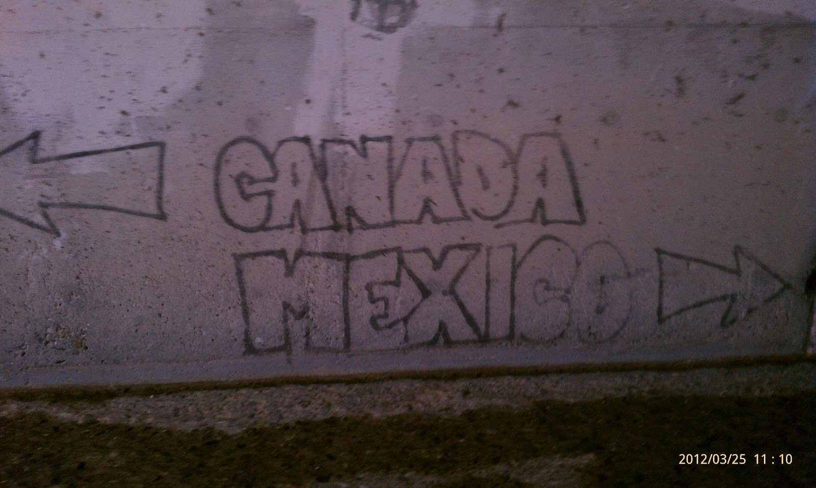
| PCT Graffiti in the I-15 underpass. |
 |
| I-15 underpass with water flowing through. |
 |
| PCT logo on the I-10 underpass. |
 |
| Gary leaving the Crazy Coyote Taco Stand -- mmmm! |


No comments:
Post a Comment