 |
| Bridge at mile 310. From this point N. the PCT is on top of the Hesperia Aqueduct. |
Deep Creek Baldwin Lake to Little Bear Springs – Nobo
Miles: 16
Hiking with: Rob
Lodging: Holiday Inn Express, Hesperia, CA - There are a lot of hotels in Hesperia. I would have preferred to stay in the Best Western at El Cajon pass but that is closer to the ski resort in the San Bernardino Mtns and consequently had higher rates. There are a lot of hotels in the area and at the next intersection to the north. I booked through www.hotwire.com and paid about $80.
Car Rental: We rented from Avis in Hesperia. It was about 10 minutes away from the Hotel. I was able to return the car in Palmdale the next day which was closer to my planned hike for day 2.
Dining: At the next exit to the north we ate at Baja Fresh. A good safe bet. There are a lot of places --- no lack of choice. I wanted to eat at Emma Jeans Holland Burger which is a Diners, Drive-ins & Dives but it was closed for dinner -- next hike.
Start: We dropped off a car at mile 314 where the trail crosses Hwy 173, a 30 minute drive from the hotel. There is a parking area at the crossing. There were about 8 cars when we returned -- I assume all hiking up to Deep Creek Hot Springs (6 miles one way). Hwy 173 is closed just past the PCT crossing. To save money the State gave the road to San Bernardino County who closed it so they didn't have to maintain the road but they reserved it as an emergency route out of Lake Arrowhead. The maps can be a little confusing in this area as they show the road going right through a lake -- no worries -- this is another Southern California dry lake.
End: We then drove on Hwy 173 to Hwy 138, through the mountain village of Crestline to the "Rim of the World Hwy", to Lake Arrowhead, to Hook Rd, and onto Splinter's Cabin trail head. From Hwy 173 which loops around the east side of Lake Arrowhead take Hook Creek Rd – which is a major intersection for this area (no stop light). Stay on Hook Creek Rd. which winds up and down and around for a while. You’ll finally see some signs that say “Splinters Cabin” – follow the sign. After you cross a small creek a locked gate will be on your right with some parking to the side. Follow the dirt/paved road behind the gate for about ½ mile past the washed out road, past Splinter’s Cabin to the Deep Creek Bridge and the PCT.
People along the trail: The Hot Springs (mile 307) were a happening place. There were about 30 college kids in several groups (in swimming suits) -- I was rather glad I didn't see any naked old men like most hikers report. Everyone was pleasant.
Description: The day was pretty short with the sun rising about 7ish and going down about 5:30. We left the hotel about 7:30 but didn't get the the beginning of Deep Creek until 8:45. The road from Hesperia to Lake Arrowhead are very curvy -- not worries as we were driving Rob's wife's Mini Cooper and the rental was a loaded Ford Focus which handled very nicely. Shuttling cars we drove this road 3 time during this day and it was a lot more fun to cruise around those corners in small sporty cars rather than my Excursion.
We were the only car at the Splinter's Cabin / Deep Creek Trail head. It was a little cool in the morning with ice covering the parts of the slower moving creek. The trail is carved into the wall of Deep Creek the whole way which makes this a very spectacular hike. This section of the PCT is also used by a lot of locals as evidence by the bullet holes in the PCT signs and from the Hot Springs north there is a lot of Graffiti.
At about mile 309.5 on the opposite side of the canyon you can see a water gate and the beginning of the Hesperia Aqueduct. I don't know how old the aqueduct is but it's got to be 1800s? A 1/2 mile further down the trail is an arched bridge where the PCT crosses the canyon. From this point on the trail is on top of the Hesperia Aqueduct until you reach the Dam at mile 312.5.
I've read where others thought this was the most spectacular part of the PCT from the Mexican Border -- It was impressive but I'd say top 5. It is unique so far as it is truly a canyon hike rather than a mountain ridge/side hike.
The PCT was closed in this section due to a land slide. I had heard from other PCTers that it was passable for hikers -- after looking at the alternate route which was basically a dirt road I decided to cheat and stay on the PCT -- I'm glad I did.
I read another hiker's description of this trail which said the best time to hike this section was in May when the wild flowers are in bloom and the Creek is running strong -- I believe him although the creek was flowing well in Jan and when I saw it in October.
 |
| Rob & the ever so nimble Mini Cooper (I wish it had a larger gas tank). |
 |
| The bridge at the beginning of Deep Creek. Note the ice on the creek. |
 |
| Land slide that causes the Forest Service to close this section of the PCT. I crossed it easily without fear of life. |
 |
| Deep Creek. |
 |
| We smelled a skunk along the trail and soon came upon the source. There was a fight between two animals and the skunk lost -- big time. All that was left of the skunk as one paw (in the above pic) and some tufts of black & white fur. |
 |
| Deep Creek. |
 |
| PCT sign with Bullet holes (1/4" steel plate). |
 |
| Bridge 2 of 3 on this section. |
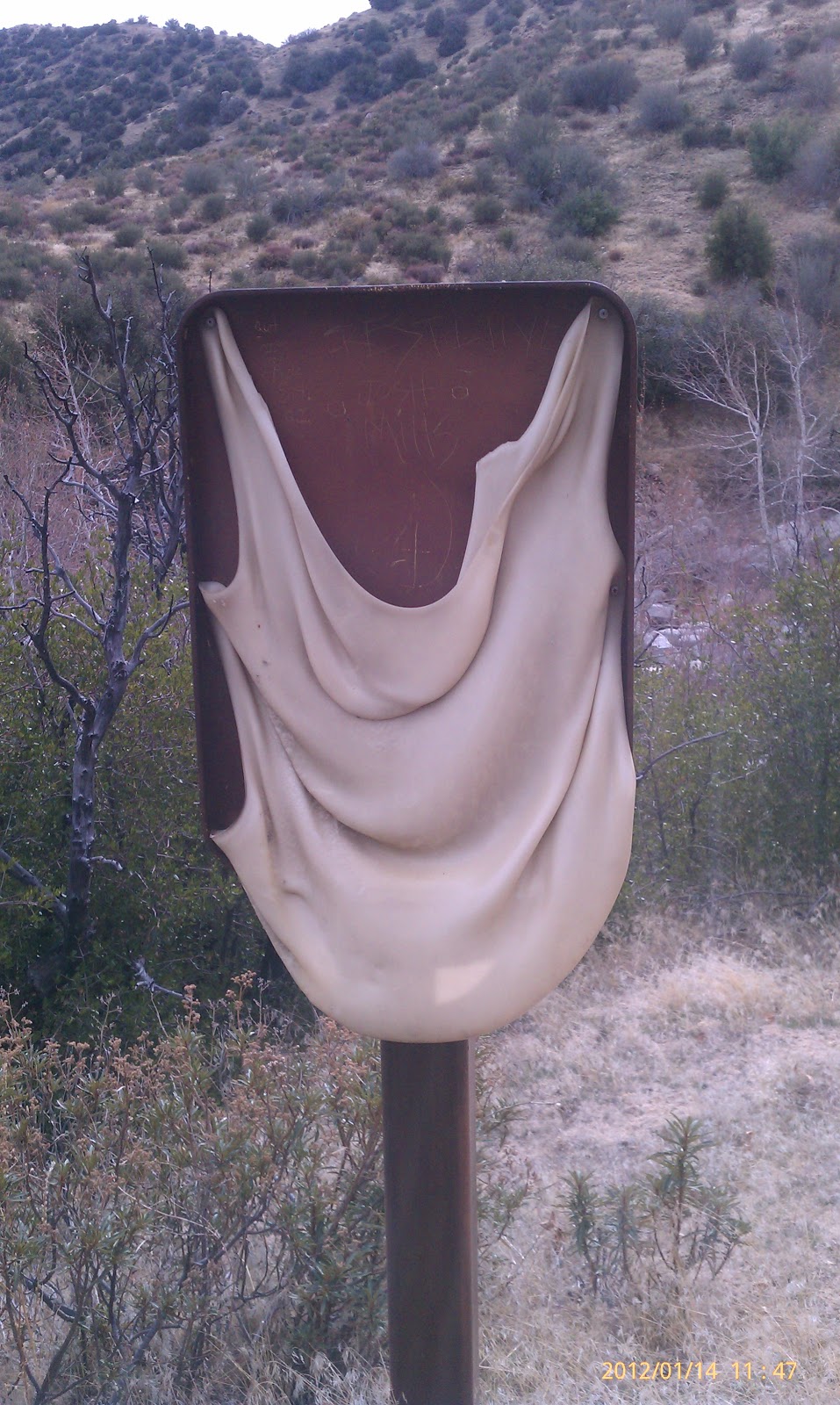 |
| Hmmm....a melted sign from a forest fire I presume. |
 |
| Deep Creek Hot Springs. |
 |
| The arched bridge where the trail meets the Hesperia Aqueduct which looks like a trail coming from the right edge of the picture. |
 |
| Graffiti sample. |
 |
| Colorful Graffiti on a PCT sign. |
 |
| The gate was open to the dam and 4 wheelers were driving through the dam. |
No comments:
Post a Comment